The southern coastline of mainland British Columbia is a world of mud flats, tangles of reeds and boggy marsh that fills and empties with the tides. The silty, often goopy waters may, at first, seem a pale comparison to the dramatic coastline to the north, where crashing waves meet rocky shores and walls of ancient pines — but there’s more to this marsh than meets the eye.
The Fraser River estuary is in fact an internationally-celebrated powerhouse. It’s an annual migration stopover for five million birds and a vital rearing habitat for the province’s largest salmon river. Out of B.C.’s 436 estuaries, it’s considered the largest and most important “by far” according to a 2019 ranking by Pacific Birds. Its 21,696 hectares, stretching form Sturgeon Bank off of Vancouver’s west coast, down around Point Roberts and into Boundary Bay, make up 36 per cent of B.C.’s estuarine habitat, according to Pacific Birds.
It’s also a habitat caught between two, often opposing, problems caused by climate change.
On one side, B.C. must protect its coastal communities from flooding caused by rising sea levels. On the other, it must protect its coastal habitats which are under threat because of the walls built to protect communities.
When sea levels rise in a natural environment, a marsh will migrate inland, staying close to the intertidal zone. But a problem arises in coastal cities when we build infrastructure to protect human development from flooding: the marsh is not able to migrate, and drowns when the water gets too deep.
This is known as coastal squeeze, and there is no clear, single solution.
The neighbouring municipalities of Surrey and Delta are partnering up to work on a pilot project, known as the “living dike,” to support marsh resilience by slowly adding sediment to Boundary Bay so the height of the salt marsh increases and keeps pace with sea level rise.
But scientists at Raincoast Conservation Foundation say the Lower Mainland needs to expand, not just preserve, estuarine habitat if the province wants to protect its salmon population. That leads to more challenges, like how to expand intertidal habitat when communities are already sandwiched between farmland, mountains and rising sea levels.
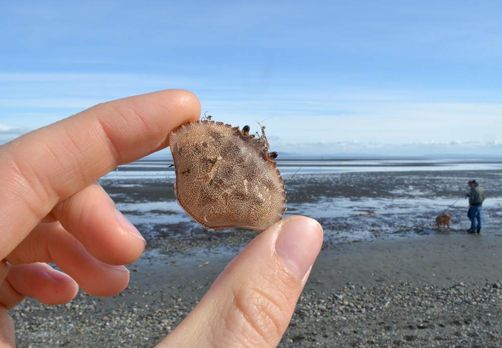
On a sunny day in early March, the Boundary Bay dike is peppered with people bundled against the wind, faces turned towards the sun. On the ocean side, clumps of washed-up eelgrass tangle around red rock crab shells as big as your hand and you can hear the clack sound of crows dropping clams on the pebbly shore to break open the bivalves. On the land side there’s the raspy guffaw of mallards and boggy land where water seeps up through reeds, dead winter grass and thickets of blackberry bushes without any leaves. A red-winged blackbird trills its three-note song as a peregrine falcon flies low overhead.
To locals, this is a beautiful park with sweeping panoramic views, and an incredible bird-watching location. To Surrey and Delta, it’s a form of living infrastructure that could offer a win-win scenario when it comes to coastal squeeze — salt marshes, like the marsh growing on the ocean side of the Boundary Bay dike, create a buffer between the ocean and communities, reducing wave impact on dikes and other coastlines by up to 40 per cent.
A dike can be thought of as a solid stone wall that blocks water. A living dike would look like a large stretch of boggy salt marsh — likely reedy, muddy and with lots of winding streams. When waves slam into a dike at high tide, they hit at full force and create a big splash. When waves slam into a salt marsh, the energy of the wave is caught and slowed down by eelgrass, reeds and other plants.
Without the living dike project, Delta estimates that Tsawwassen’s waterfront Boundary Bay neighbourhood would need a wall up to 7.8 metres tall between it and the ocean by 2100 to protect against sea level rise, storm surge and wave effects. (Wave goodbye to waterfront views!)
The living dike would help reintroduce Fraser sediment to Boundary Bay, which could help reverse some of the impacts of colonial development and support ecological resilience against sea-level rise, Eric Balke said. He’s the conservation program specialist with Ducks Unlimited Canada, and co-ordinator for the South Coast Conservation Land Management Program, which includes managing the Boundary Bay Wildlife Management Area where the living dike projects will be built.
Balke sees the living dike as a chance to build with nature, using sediment dredged annually from the Fraser River by the Vancouver Fraser Port Authority, to protect both communities and at-risk habitat.
Coastal squeeze is a problem that we have created, Balke said. It’s not just about climate change and sea level rise, but also specifically the dikes we’ve built throughout the delta. “This is an arbitrary location,” he said, “We decided to build a wall and call one side of the dike dry and call the other wet.”
Settlers started building dikes in the estuary 130 years ago, which changed where the Fraser River’s annual 17.5 million tonnes of sediment settled. That alteration means today most of the Lower Mainland sits below sea level and — if the dikes ever failed — would end up underwater at high tide, Balke said.
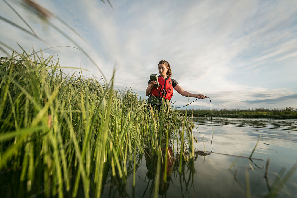
Before the first dikes were built in the Lower Mainland, there were hundreds of kilometres of floodplains, connected by spiderwebbing streams reaching from Coquitlam, New Westminster, Vancouver, Delta and Richmond, that all drained into the Fraser River, explained Misty MacDuffee, a Raincoast Conservation Foundation biologist and director of its wild salmon program. The agricultural land near the Fraser River and along the coast used to be extensive wetlands, marshes and intertidal areas that would flood and drain with the tides, she added.
Settlers built dikes and dredged the Fraser River so large ships could navigate the murky waters, and converted marshy river shoreline into one that better supported industry, MacDuffee said. Settlers even drained Sumas Lake, devastating a wetland that supported Indigenous peoples for thousands of years.
Settlers also built floodgates, which work like large flaps that only open one way, preventing flooding in small bodies of water. A stream that drains through a floodgate into a river could push the flap open, but if the river flooded the flap would be pushed shut, preventing water from moving up the stream.
Settler development of the Fraser fundamentally changed the landscape of the Lower Mainland, converting soggy estuarine habitat into rich farmland. A bonus for local agriculture, but, as MacDuffee pointed out, when you stop the movement of water, you also stop the movement of salmon.
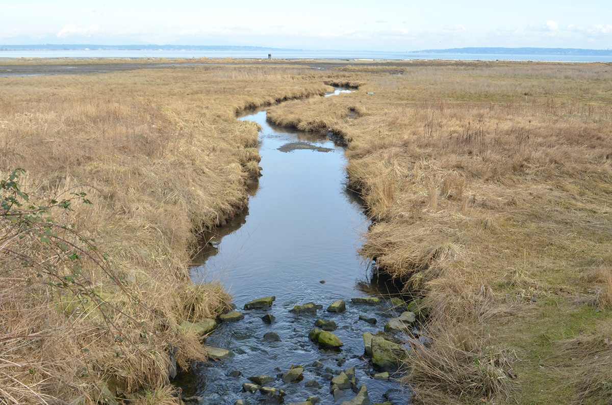
Surrey will run its living dike pilot project in a 150 metre stretch of salt marsh in Mud Bay, likely starting next year and running for up to three years, Surrey senior project engineer Matt Osler said. Delta’s pilot will be built near the rural stretch of the Boundary Bay dike, said Mike Brotherston, manager of Delta’s climate, action and environment department.
Both pilot projects are still in the planning stages and details like size, amount and timeline are rough estimates. If the pilot project is a success, Surrey will, by 2028, build a living dike up to one kilometre long, Osler said. “There’s a lot of excitement in seeing this project go forward, and lots of other regions who might implement similar projects depending on the results.”
For Delta, it’s still too early to say if or how the project will be scaled, Brotherston said.
Researchers will be monitoring if dumping sediment in key areas actually changes the elevation of the marsh; what plants grow in the marsh and where; and what fish and wildlife use the area, Balke said.
The living dike forms one small part of a major overhaul of Surrey’s flood mitigation infrastructure. Its Coastal Flood Adaptation Strategy, which aims to prepare the city for one metre of sea level rise by 2100, is a $187 million project.
Over 20 per cent of Surrey is at risk of flooding because of the Nicomekl and Serpentine River flood plains and sea level rise. The majority of CFAS’s projects will focus on conventional flood prevention, like dikes and pump stations to protect existing land, Osler said.
Protecting land is paramount to second-generation farmer John Lindrian, who has worked on his family dairy farm, Lindrian Farms, for over 60 years.
“We’re living in a society where the population is growing and the land base isn’t,” Lindrian explained over the phone as he parked a tractor. “All the farmland that is now being farmed is so valuable we cannot afford to lose it. You don’t make farmland. What’s there is there,” he said.
As populations grow they need more food — but farmland is already rapidly disappearing in the Lower Mainland as developers build on some of the most fertile soil in the country, if not the world, Lindrian said. Farms can't move inland because the climate gets dryer and the soil less nutrient rich so you need exponentially more land to grow the same amount of food, he added.
To protect that farmland, most of the Lower Mainland's flood mitigation infrastructure will need to be upgraded in the coming years because it was not build to withstand one metre of sea level rise, according to CFAS.
The west coast isn’t alone in this. A recent study found 16 of Canada’s largest cities scored a C+ average when asked to anonymously self-assess how prepared their infrastructure is for flooding.
And it’s not just sea level rise municipalities have to keep tabs on.
In the last 130 years two major Fraser River floods hit southern B.C. The largest happened in May 1894, and the second largest in May 1948, when 10 people were killed, 2,000 homes were destroyed and 16,000 people were evacuated. Earlier large-scale floods are recorded in the Oral Histories of coastal Indigenous peoples. The Semiahmoo, for example, identify as survivors of a great flood caused by the melting of glaciers in the last ice age.
But when settlers in the late 1800s started building dikes to prevent flooding, they also sliced, diced, eroded and outright destroyed estuary habitat salmon rely on, said Raincoast's MacDuffee.
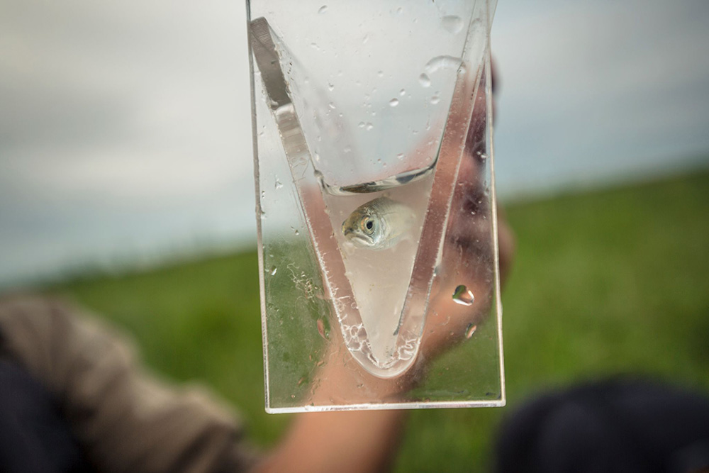
In late January Raincoast published a study that solidified the importance of estuarine habitat for salmon.
The study found that half the Fraser’s juvenile Chinook camp out in the estuary for an average of six weeks when transitioning from fresh to salt water — a hugely important part of their development. The problem: that habitat is already 80 per cent smaller than it was in the late 1800s before settlers started dyking the marsh, MacDuffee said.
The Fraser River used to be the largest salmon producing river in the world.
“Part of the Fraser estuary being such a prolific salmon producer was the rearing habitat the juvenile salmon had,” MacDuffee said. “That was the Fraser delta, the estuary and the floodplains.”
Salmon had the run of the lower Fraser and its extensive food web. Then came the diking, the draining of the wetlands, the logging of the forests, and, eventually, we paved the whole thing over, MacDuffee said.
Now, very little of the original marsh remains, and that has impacted salmon. The Fraser River supports 17 genetically distinct Chinook salmon, but 14 of those are considered endangered or threatened, she added.
“There would have been hundreds of millions of juvenile salmon rearing in that habitat, all species of salmon,” McDuffee said. “At some point we have to say we want to recover estuary function and we can’t expand anymore.”
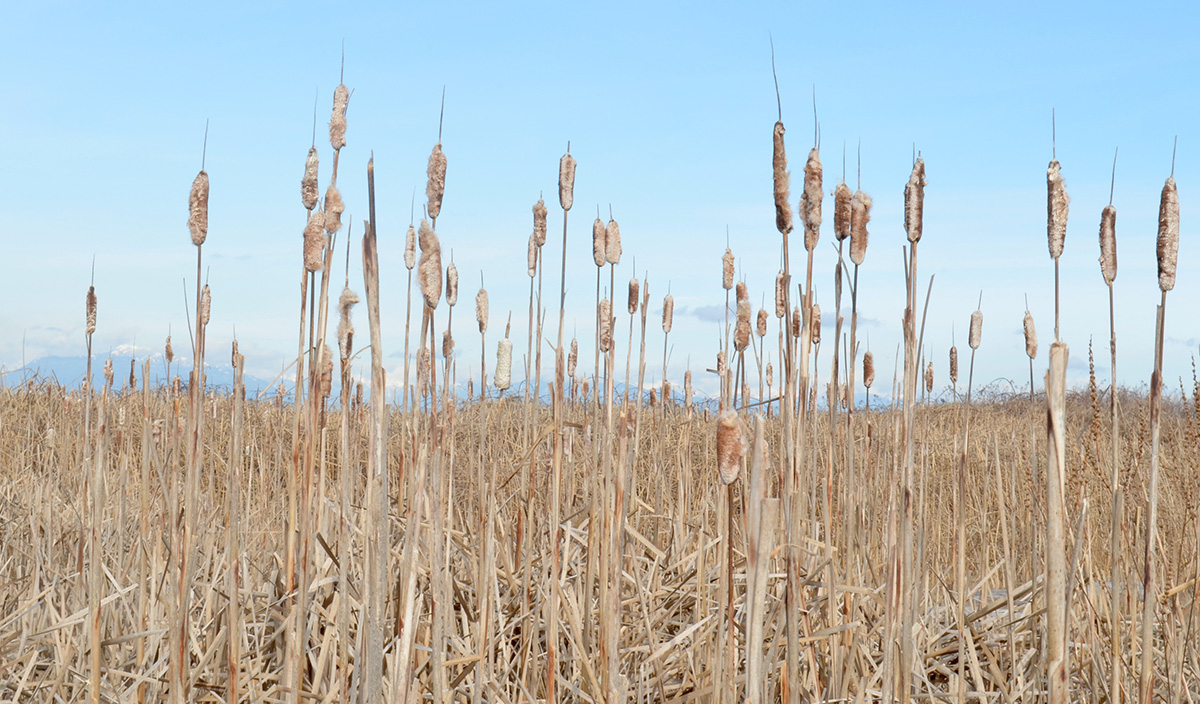
Surrey’s CFAS plan will maintain, not expand the city’s marsh habitat, Osler said, adding if the city did nothing this habitat would be damaged by coastal squeeze.
But MacDuffee shook her head at that. “Not only are these communities not thinking about organized retreat, but they’re making decisions like they’re oblivious to the changes that are happening,” she said.
To expand rearing habitat, MacDuffee said municipalities should start thinking about breaking up the armoured shoreline the dikes have created and work to reconnect isolated rearing habitats by swapping out floodgates for more salmon-permeable infrastructure.
The government could also dredge smaller waterways and look into converting Agricultural Land Reserve for salmon rearing habitat, said Semiahmoo First Nation Chief Harley Chappell.
For the Semiahmoo, balancing flood mitigation and environmental protection is familiar ground.
The nation’s reserve land sits at the mouth of the Little Campbell River in Semiahmoo Bay, to the east of Boundary Bay. During king tides Chappell has seen the reserve’s only access road covered in half a metre of water — cutting off huge swaths of the community from emergency services.
“On reserves, we know our populations are growing at an extremely fast rate and our reserve boundaries are what they are. Historically we never would have settled in an area that would flood on a regular basis,” Chappell said. “If it was a high-water time we would have been able to move to alternative areas. Nowadays that’s not a possibility. We can’t say ‘we’re going to move the Semiahmoo reserve from A to B because: one, A is our home; and B, there is no B.’”
So how to balance the two issues? Well, that’s the big question, he said. Any solution will require communities to take a step back to see the whole picture, including the cumulative effects of climate change. “We can’t just fix one thing and decimate another.”
Chappell called the living dike project “innovative” but had questions about its long-term impacts, which aren’t known because the project is new to Boundary Bay.
Long-term impacts are something Euro-Canadian politicians struggle with because of their limited time in office, he said. That’s where the differences in worldviews between Indigenous and non-Indigenous people comes in. A city council permits development in a flood plain because to prohibit it could mean losing the next election; Indigenous leaders plan with intergenerational responsibility.
It’s difficult to plan for sea level rise because of the unknowns, Balke said. Even the living dike’s original proposal said it might not work at all — or could even hurt the ecosystem. But that doesn’t justify inaction, Balke added. The pilot project is a chance to recognize habitats as infrastructure and start testing for how to best support ecological resilience in the face of climate change.
Doing nothing puts the estuary, and all of the life it supports at risk, Balke said. If we do nothing, the world won’t end — a new normal will always establish itself. “But new normals are always at a huge loss, economically and ecologically.”
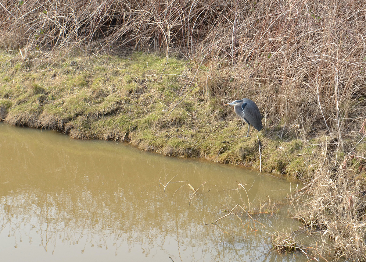
Back on the Boundary Bay dike, a great blue heron — a bird listed as “of special concern” by the Committee on the Status of Endangered Wildlife in Canada — sits stoically watching some murky waters.
In the distance a row of seaside bungalows rest just above a small concrete wall, their lawns and kitchens overlooking the sparkling bay.
But for how long? After all, the tide’s coming in. ![]()
Read more: Environment








Tyee Commenting Guidelines
Comments that violate guidelines risk being deleted, and violations may result in a temporary or permanent user ban. Maintain the spirit of good conversation to stay in the discussion.
*Please note The Tyee is not a forum for spreading misinformation about COVID-19, denying its existence or minimizing its risk to public health.
Do:
Do not: