

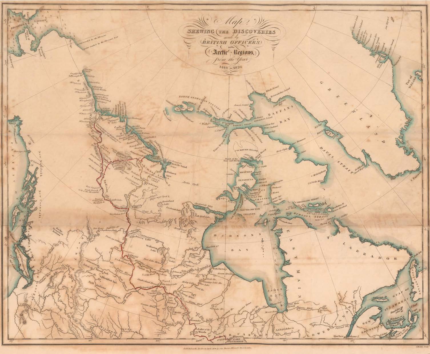
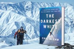
- A History of Canada in 10 Maps: Epic Stories of Charting a Mysterious Land
- Penguin (2018)
Sprawling across half of North America, the modern Canadian map seems eternal. But as Adam Shoalts argues in this remarkable book, Canada is a very recent creation. We are a nation that existed on mostly blank paper before it became a reality, and the people who defined us usually had something else in mind.
Shoalts builds his story around ten narratives of exploration, from the Vikings to John Franklin’s land journeys to the Arctic. Some common themes emerge:
- This country was an obstacle to where Europeans really wanted to go.
- In itself it was valuable only for what other countries could extract from it.
- Violence and struggle were the price of learning about it.
- And respect for its Indigenous peoples was crucial to understanding its true value.
So the Vikings valued “Markland,” the coast of Labrador, for its timber (sorely lacking in Greenland). They might have stayed in Vinland, farther south, where they founded a settlement. But they stupidly massacred the first Indigenous people they met, and a gory internal dispute among the settlers pretty well ended any chance of permanent settlement.
Still, the Vikings revisited North America for timber and must have made maps. The originals were lost, but a copy of a copy, the Skálholt map, survived from the 16th century. It gave Helge Ingstad and his archaeologist wife Anne Stine a hint that Vinland must be at the tip of Newfoundland’s Great Northern Peninsula, where they found the remains of the settlement at L’Anse aux Meadows.
When European exploration of Canada began in earnest, 500 years later, it was largely based on finding a way through it to far more interesting Asian destinations. Two early Frenchmen showed how to do it wrong and how to do it better.
First Jacques Cartier in the 16th century and then Samuel de Champlain in the 17th ventured into the Gulf of St. Lawrence and on into the river. Indigenous peoples passed along rumours of a great freshwater sea in the west, which might lead eventually to China. (Cartier even named a rapids for China; it’s now the site of Lachine, Quebec.)
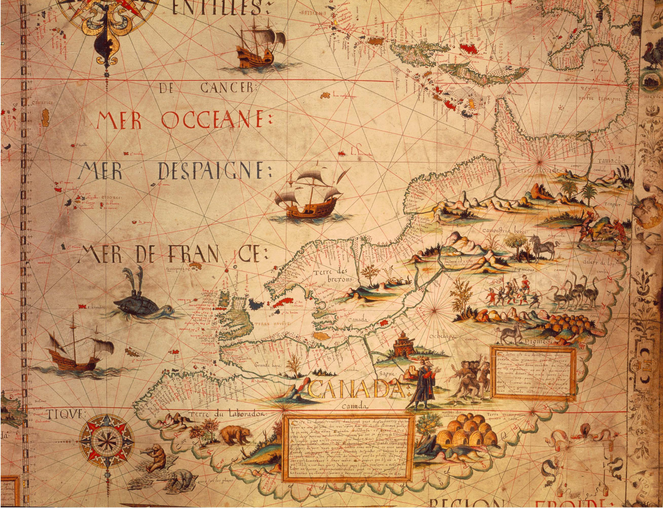
Cartier mostly botched the jobs of exploration and settlement, largely because he lost Indigenous trust — especially after kidnapping eight people who’d dealt with him, including a major chief. All but one died in France, but when Cartier returned to the Gulf he lied and said they were now prosperous lords.
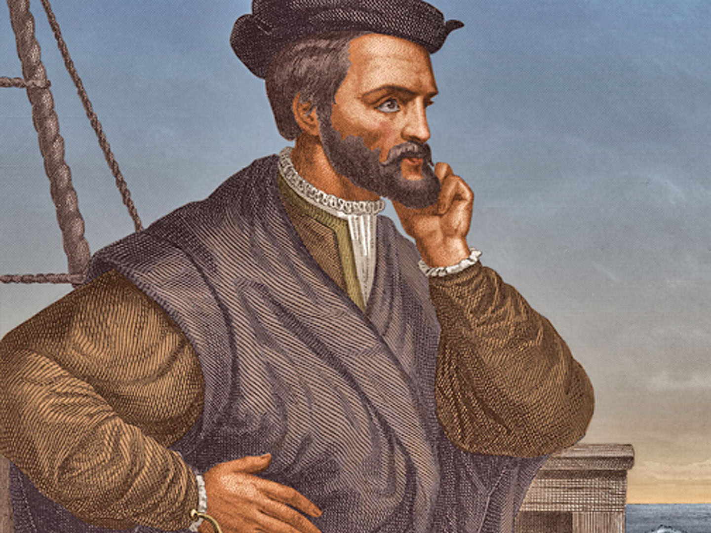
Samuel de Champlain was far different. “Champlain,” Shoalts tells us, “had a crazy idea: unlike previous colonizers, he’d actually seek to make friends with aboriginal nations rather than antagonize them.” This, plus his technical skills, enabled him to create the best map of North America yet seen.
But involvement with the Indigenous peoples also meant involvement with their wars. He marched with the Montagnais and Algonquins against the Mohawks and beat them, and had to watch his allies slowly torture their captives.
Samuel Hearne witnessed a similar horror many years later, as he was seeking the Coppermine River with Dene guides: they learned an Inuit camp was nearby, and killed them all in a surprise attack. An Inuk girl curled around Hearne’s legs as the Dene speared her to death.
Horrified though he was by such violence and cruelty, Hearne accepted as part of the price of exploration; without Mattonabbee, the formidable Dene hunter who guided him, he would never have reached the Coppermine River (which turned out to have no copper mines).
Alexander Mackenzie also respected and studied the people he met in his travels. Long experienced in the fur trade, Mackenzie first took the mistaken advice of another trapper and mapper, Peter Pond, who was sure a river in the northwest must empty into the Pacific. Long before Mackenzie reached the Arctic Sea, he knew he was on the wrong river, but he persisted, “as it would satisfy Peoples Curiosity though not their Intentions.”
Trying again, Mackenzie crossed the Rockies and after a difficult and dangerous journey reached the Bella Coola valley and an Indigenous society very different from those of the east. Nuxalk paddlers took him down the turbulent river; he thought their skills were even greater than those of his voyageurs.
Once on the coast, Mackenzie painted a large rock with his name, “by land, from Canada,” and the date‚ July 22, 1793. In 1801, after a bout of depression, he finally published a book about his travels that later inspired Thomas Jefferson to send Lewis and Clark on a similar expedition to the Pacific. Both Mackenzie and Jefferson were beginning to think about their countries as entities that could span the continent.
But North America’s maps so far still had vast blank spaces, and in 1820 the Royal Navy sent Lt. John Franklin on another Canadian-staffed expedition to the Arctic. A by-the-book naval officer, Franklin had the sense to accept his Dene guides’ advice on the route to take from Great Slave Lake to the Coppermine River. But he ruled them and the Canadians with threats, and they soon lost respect for him.
Worse yet, when they reached a lake the Canadians and Dene thought would be good winter quarters, Franklin insisted on going on north despite the lateness of the season. Akaitcho, his Dene guide, finally talked sense into him, and they reached the Arctic Sea the next summer. Franklin wanted to chart some of the coast to see if he could find the Northwest Passage, and took his men 500 kilometres further on. But getting back required brutally hard work as winter approached, and the expedition fragmented into groups of starving men.
“Incredibly,” Shoalts writes, “after this disastrous ordeal, the British Admiralty decided that Franklin was just the man to lead another overland Arctic expedition.” This one, in 1825, was relatively successful and made Franklin the obvious choice to lead the doomed 1845 expedition in the Erebus and Terror.
Throughout his book, Shoalts makes it clear that few Europeans considered the northern half of North America worth much; at the end of the Seven Years’ War, France preferred to keep its sugar islands in the Caribbean rather than regain its North American empire. Of those who did settle in British North America, fewer still cared about Indigenous knowledge; most settlers just wanted to re-create European communities.
Yet the few like Champlain and Hearne and Mackenzie who respected the Indigenous peoples were the ones who taught their fellow Europeans what potential this new world might offer them. The mapmakers paid a terrible price in violence and suffering for what they learned. We can scarcely appreciate our own country without knowing the cost the mapmakers paid. ![]()
Read more: Indigenous


Tyee Commenting Guidelines
Comments that violate guidelines risk being deleted, and violations may result in a temporary or permanent user ban. Maintain the spirit of good conversation to stay in the discussion.
*Please note The Tyee is not a forum for spreading misinformation about COVID-19, denying its existence or minimizing its risk to public health.
Do:
Do not: